
Geoinformatics in the Preparation of Forest Working Plans for Odisha State
DOI:
https://doi.org/10.36808/if/2021/v147i9/165482Keywords:
Inventory, Stratified Random Sampling, Working Plans, Growing Stock.Abstract
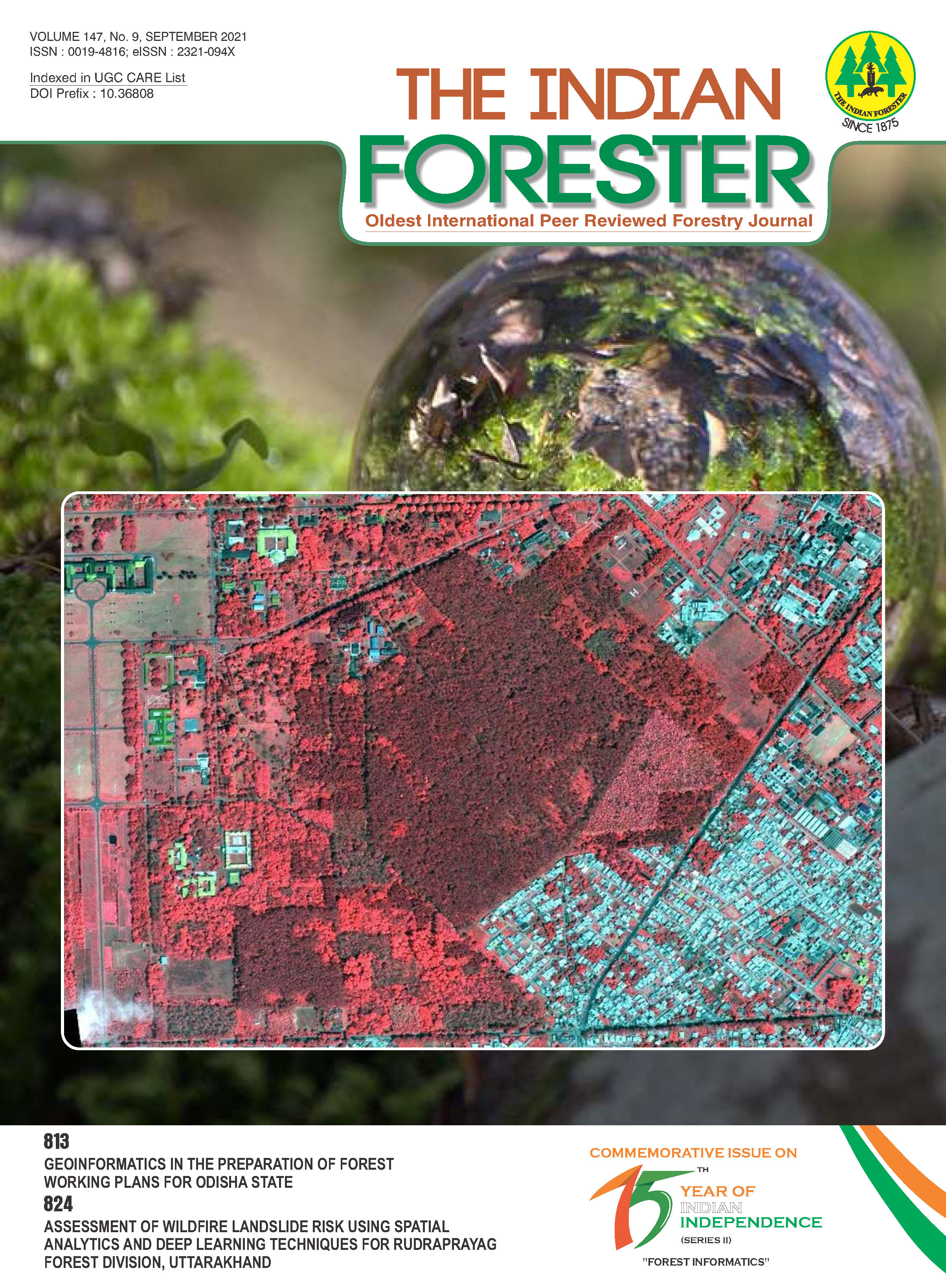
The Working Plan Code 2014 recommends grid based sampling design for the sample point distribution and using stratification at the estimation stage. Such a grid-based sampling would have required 52169 sample points and the requirements of sample point location at grid centre placed 3508 points outside the forested area. We have successfully demonstrated that using remote sensing based type and density stratification and spatially optimal stratified random sampling we can reduce the sample size with 92% estimation accuracies. Remote sensing based stratified random sampling with a two phase single stage sampling design reduced the sample size to one third (48661 to 17704) compared to grid based sampling while ensuring an estimation accuracy of 92%. This very significant reduction in sample size reduces the sampling cost and project completion time while achieving desired levels of accuracies. This SRS design ensured higher sampling intensities in the areas of potential working and high canopy density regions (8010 sample plots in 29% Selection Working Circle area while Rehabilitations Working Circles comprising 71% area receiving 9694 sample plots). A web-based Forest Inventory Design and Analysis System (web-based FIDAS) is developed on BHUVAN-NRSC's Geo-Visualization platform, which can be readily adapted for any new states working plan input preparation.References
Cochran W.G. (1977). Sampling techniques (3rd edn). New York, John Wiley & Sons.
Dasgupta S. and Lakchaura P. (2007). GIS integrated sampling design for forest inventory in inaccessible areas. The Indian Forester: Focus on Working Plans & Forest Resources Survey.
FSI (2019). India State of Forest Report 2019. Forest Survey of India, Govt. of India, Ministry of Environment & Forest, Dehradun (India).
Kumar M., Singh M.P., Singh H., Dhakate P.M. and Ravindranath N.H. (2019). Forest working plan for the sustainable management of forest and biodiversity in India, Journal of Sustainable Forestry, 39(1): 1-22, DOI: 10.1080/10549811.2019.1632212.
McRoberts R.E. and Tomppo E.O. (2007). Remote sensing support for national forest inventories. Remote sensing of environment, 110(4): 412-419.
NWPC (2014). National Working Plan Code (2014). Forest Research Institute, Dehradun. Ministry of Environment and Forest. Government of India.
Rao M. K., Varghese A.O. and Krishnamurthy Y.V.N. (2007). Applications of remote sensing and GIS in forest working plans. The Indian Forester: Focus on Working Plans & Forest Resources Survey.
Schreuder H.T., Gregoire T.G. and Wood G.B. (1993). Sampling methods for multi resource forest inventory. New York, John Wiley & Sons.
Singh K.D. (2007). Report of a meeting on working plans systems in India, need for a change and proposal for the future WP code (Indian Forest College, Dehradun, 30-31 Oct , 1975). The Indian Forester: Focus on Working Plans & Forest Resources Survey, 133-142.
Tomppo E., Heikkinen J., Henttonen H.M., Ihalainen A., Katila M., Mäkelä H., Tuomainen T., and Vainikainen N. (2011). Designing and conducting a forest inventory – case: 9th National Forest Inventory of Finland. Managing Forest Ecosystems, 21. Dordrecht, The Netherlands, Springer. http://egreenwatch.nic.in/. Visited on 12th May 2021.
Downloads
Downloads
Published
How to Cite
Issue
Section
License
Unless otherwise stated, copyright or similar rights in all materials presented on the site, including graphical images, are owned by Indian Forester.


